Events
San Francisquito Creek Communities
Winter Safety Community Event
Getting ready for Winter Storms
Recording of October 26, 2023 Winter Safety Community Event
Date: October 26, 2023
Time: 6:30 pm – 8 pm
Where: Laurel School Upper Campus, Atrium Room, 275 Elliott Drive, Menlo Park, CA 94025
Representatives from Menlo Park, Palo Alto, East Palo Alto, Valley Water, and OneShoreline, including leaders in emergency preparedness, public works, and public safety will share -
Overall local public safety and emergency preparedness coordination.
Information on how community members can sign up for emergency alerts, how to monitor weather and creek conditions, how to report storm-related problems, how to fill and use sandbags and other ways to prepare for the winter and minimize flood damage to property.
What the San Francisquito Creek Joint Powers Authority (SFCJPA) and its members agencies have done and are doing to be ready for winter storms and possible creek flooding.
Simultaneous Spanish language interpretation will be available.
Habrá interpretación simultánea en español.
This will be an in-person only event.
SFCJPA Reach 2 Project
Frequently Asked Questions (as of April 21, 2023)
What has been learned about the creek after the winter storms and flooding?
The SFCJPA’s member agency, Valley Water, is conducting a detailed analysis of the creek’s behavior; collecting information about the storm event, creek flows, and flooding, and using that information to calibrate the model we use to understand how the creek will respond to our proposed project elements. We anticipate their analysis (called a ‘technical memo’) will be done in the next few weeks.
The New Year’s Eve event was the second highest flow in recorded history. During previous flood events we did not have the same monitoring instrumentation, nor as complete a model, as we do now. We will know more, soon.
What is the schedule for the project?
The Reach 2 Project has four components. Newell Road Bridge, Channel Widening, Top-of-Bank, Pope-Chaucer Bridge. They are planned so that we avoid transferring flood risk, which typically means moving from downstream to upstream.
1st – Newell Road Bridge – Planned Construction in Summer 2024
2nd (or 3rd) – Channel Widening – Planned construction in Summer 2025
3rd (or 2nd) – Top-of-Bank – Planned construction in Summer 2025
4th – Pope-Chaucer Bridge – Construction can be in Summer 2025, or thereafter.
Why has this project taken so long?
Finding and negotiating funding, coordinating consulting/design engineering and other technical disciplines, then coordinating and producing the necessary studies is a time-consuming, iterative, and complex set of tasks. After several years of working with the Corps of Engineers on a federal General Investigation (an attempt to fix the whole creek with one project) in 2009 the JPA began working on implementing projects in manageable segments. The Reach 1 project took several years and substantial resources to complete, and it was necessary to complete this piece first to protect against loss of life in the most vulnerable area of the floodplain, and to avoid transferring risk. Project planning was focused on the Reach 2 segment in 2019, and we continue to pursue the property rights, regulatory permits, and funding needed to complete construction on schedule.
Who is responsible for what work?
Newell Road Bridge - The City of Palo Alto is responsible for Newell Road Bridge. Most of the funding is coming from the CalTrans bridge program, and the CalTrans program requires grantees to have a ‘transportation department’ as the City of Palo Alto does. Therefore, Palo Alto is leading this part of the project. Valley Water and the SFCJPA are supporting this part of the project through match funding and coordinating submittal of regulatory agency permit applications.
Channel Widening – The four channel widening sites are being done by the U.S. Army Corps of Engineers (USACE) through the Continuing Authorities Program (CAP), section 205 (shorthand name is “CAP205”). Valley Water has provided some design and hydraulic modeling support. The USACE is responsible for finalizing the designs and for compiling and submitting necessary regulatory agency permit applications. The SFCJPA is leading coordinating with the USACE.
Top-of-Bank – The SFCJPA is leading this part of the project, with design support from Valley Water.
Pope-Chaucer Bridge – The SFCJPA is leading this part of the project, with design support from Valley Water.
Design and implementation of the Top of Bank and Pope-Chaucer components will need to consider new hydraulic information from the 12/31/22 flood, which is currently being analyzed.
How much is this going to cost?
The current cost estimate for all four parts of the project is $57.86M. That number will change as designs get closer to finalization.
How much of the project is funded?
Between commitments from Valley Water’s “Clean, Safe Water” program ($25M), USACE CAP205 ($10M), CalTrans (~$11M), and other grants, approximately $40.86M or about 70% is funded.
How will the gap be funded?
We are continuing to look for grants to fill as much of the gap as possible. Whatever is left will be funded by the four SFCJPA members: City of Palo Alto, City of Menlo Park, City of East Palo Alto, and OneShoreline (Valley Water is already contributing $25M) according to a to-be-determined framework.
Why do the project elements only get built in the summertime?
The creek is a migratory corridor for endangered steelhead, a native fish related to salmon that is protected under the Endangered Species Act. To comply with legal requirements of the state and federal agencies with jurisdiction over the creek, work can only be done when the channel is dry.
How long will the Newell Road bridge be closed?
There will be no usable bridge, and that crossing will be closed, for approximately 16 months. The cities of Palo Alto, East Palo Alto and Menlo Park are coordinating on issues like emergency vehicle access and routes, parking, and traffic control during construction.
What about impacts to project neighbors during construction?
Some impacts, like traffic delays during construction, are unavoidable. However, other impacts such as noise, dust, or vibrations, will be minimized. Additionally, the project will implement monitoring to ensure construction practices conform to expectations.
We know some trees will be removed or impacted. What will you do about that?
Yes. Some trees will be removed. Some trees may be impacted by construction activities. Trees that will be removed will be replaced according to the applicable city’s tree canopy ordinance. To the extent possible construction will avoid damaging trees, but trees that may be impacted will be assessed by an arborist. If the tree can be protected, appropriate steps will be taken.
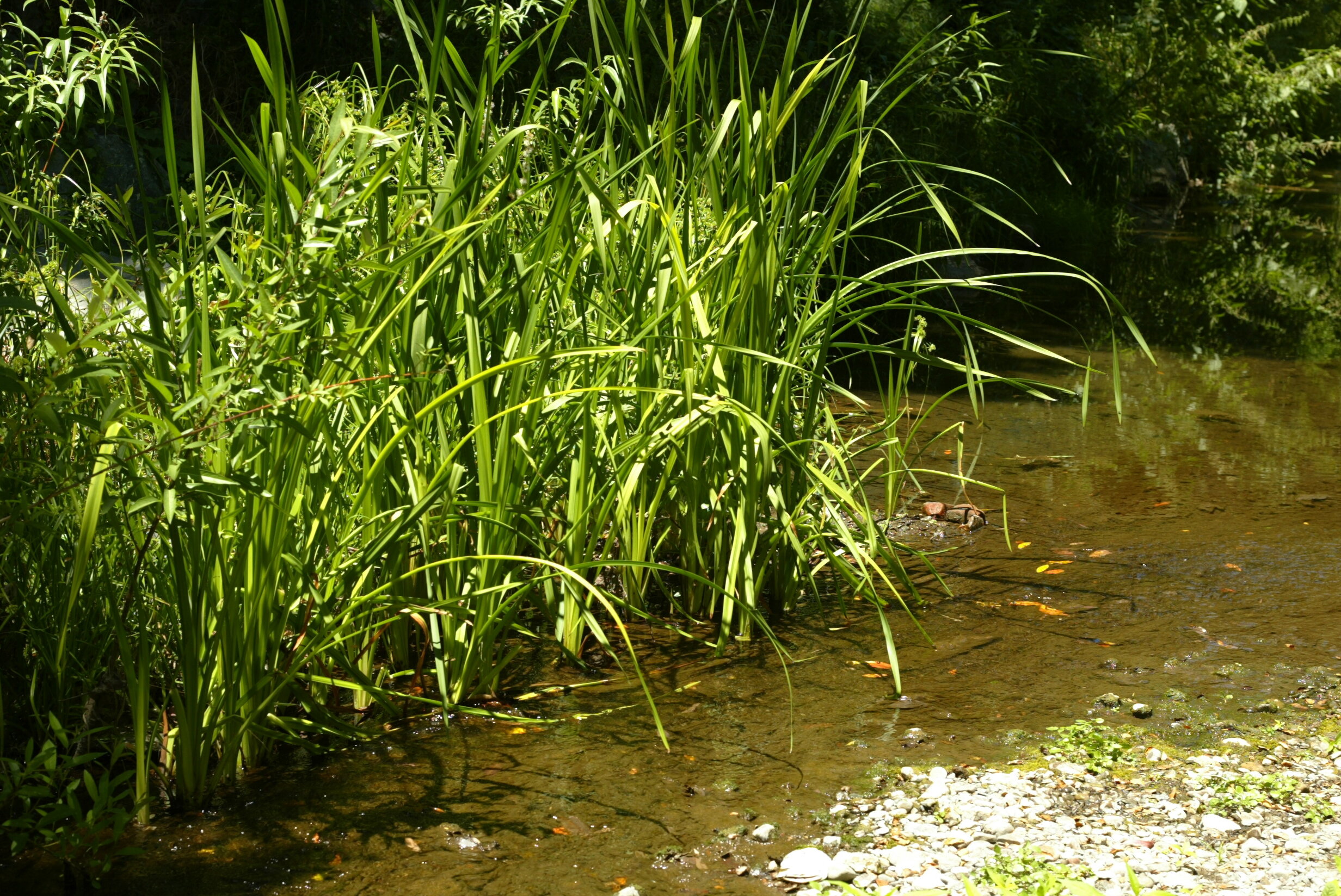
A lot of vegetation has grown up in the creek. What will you do about that?
Yes. Willows and other types of vegetation are growing in the creek channel. Some of that vegetation – like the willows – provides good habitat for birds and fish and does not block water flow in the channel. There are specific regulatory requirements – including obtaining permits – for managing vegetation in creek channels, to protect habitats and animals. Some vegetation, like non-native eucalyptus trees, may need to be reduced or removed to keep the channel clear. The SFCJPA and its members and project partners are reviewing how to address this where they have jurisdiction. Much of the creek channel is held in private ownership and trees growing there are the responsibility of the property owner. Further upstream, Stanford University is undertaking a large-scale evaluation of stream-side trees.
What about creek bank erosion? There was a lot of that this winter.
Yes, there was quite a bit of erosion this past winter. Bank erosion is a natural effect of fast-moving water. The San Francisquito Creek runs through the sand and gravel of its alluvial fan, which is very prone to erosion. Private property owners are responsible for maintaining the creek banks they own. A useful guide to creek bank restoration and maintenance, “The San Francisquito Creek Bank Stabilization and Revegetation Master Plan” is available on the SFCJPA website https://www.sfcjpa.org/jpa-documents-archives.
Why doesn’t the SFCJPA fix the issues with the trees and erosion everywhere?
The rights, and rules, of private property ownership limit what public agencies can do. Access to the creek is limited by a patchwork of private ownership and access easements with cities, counties, and other agencies. Typically, those easements are only for specific purposes, such as flood control feature maintenance.
Can’t upstream detention solve the flooding problem?
Not as a stand-alone action. We are working with consultants and Stanford University to assess our options, their costs, and how we might design and fund such a project.
The City of Palo Alto’s project information and their YouTube link can be found through this website: https://www.cityofpaloalto.org/Events-Directory/City-Manager/San-Francisquito-Creek-JPA-Neighborhood-Workshop
December Regular Board Meeting
December Regular Board Meeting
This meeting will take place via video conference.
Meeting Agenda
Board Packet
November Regular Board Meeting
November Regular Board Meeting
This meeting will take place via video conference.
Meeting Agenda
Board Packet
October Regular Board Meeting
October Regular Board Meeting
This meeting will take place via video conference.
Meeting Agenda
Board Packet
September Regular Board Meeting
September Regular Board Meeting
This meeting will take place via video conference.
Meeting Agenda
Board Packet